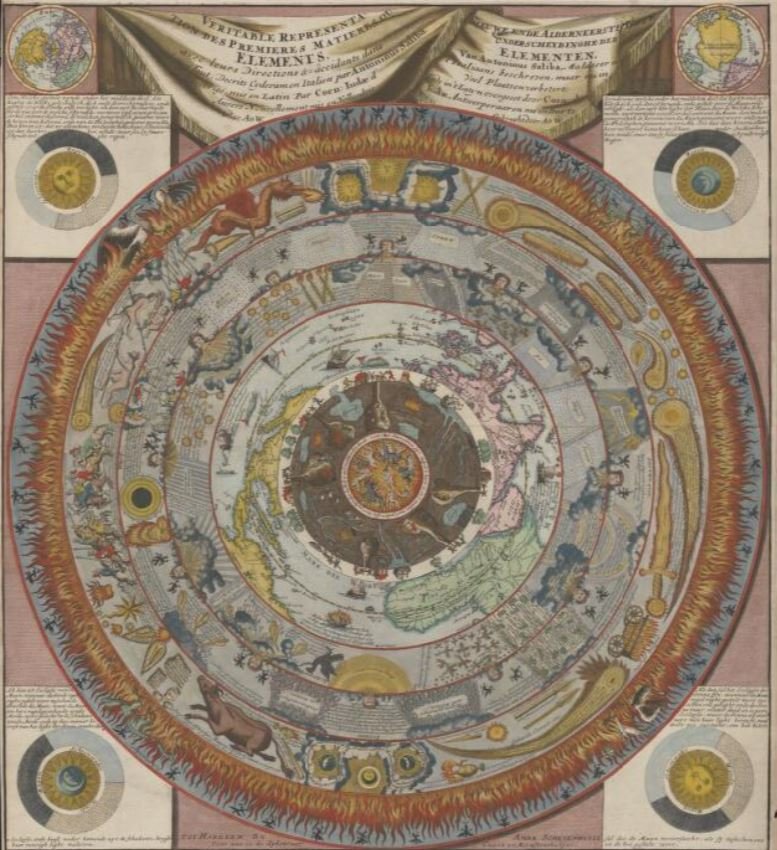
The Library has enhanced its strong collection of rare printed maps with a new acquisition. Veritable Representation des Premieres Matieres ou Elements (True Representation of the First Matters or Elements) – also known as The Schevenhuysen Map – is a rare, hand-coloured copperplate engraving printed in Haarlem circa 1700 by Ambrosius Schevenhuysen.
It is a spectacular cosmographical map printed at the end of the Dutch Golden Age, that brings together different mapping and philosophical traditions of important past mapmakers.
The map is based on a much earlier map of 1582 by Maltese Antonino Saliba, which was then re-versioned by Antwerp mapmaker Cornelis de Jode in 1593. It is de Jode’s version on whose map subsequent versions, including this one, are based.
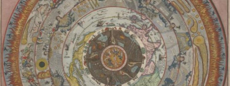
It shows the cosmos with 8 concentric rings, with Hell (the Inferno) at its core. Moving outwards is the underground world, with miners, tunnels, and rivers. Next is the land above, featuring windmills, houses, trees, the seas, and ships. Beyond that is a world map, of lands, seas, ships, and sea monsters. Then the sky with clouds, stars, and birds. Next are wind heads, followed by zodiac signs. Finally, a ring of fire with demons, phoenixes, and salamanders.

In this way, the map places Australia and south-east Asia in the universe. It maps the Asia-Pacific region in the main terrestrial view consistent with pre-Dutch (pre-1640s) European knowledge of the Indonesian/Philippines region: ‘Gilolo’ modern Halmahera (Indonesia), ‘Bibalon’ (Philippines), and ‘Burneo’ (Borneo, Malaysia, Indonesia and Brunei) feature. ‘Beach', a European name at the time for the land where Australia is located, is not named. The upper right corner, however, presents a polar view of ‘Terra Australis nondum planedetecta’ and ‘Nova Guinea’, clear references to landmasses of our region.
In addition to drawing on different philosophical traditions, it has features map lovers will recognise: corner maps representing the sun, moon, and their eclipses; polar views; and wind heads.
Rare Books and Music Curator Dr Susannah Helman says that the National Library is delighted to add this rare map to the collection.
It’s a map to get lost in. There is so much to explore – it’s incredibly detailed. It’s a map, it’s cosmography, it’s art. It strengthens our collection of cosmographic maps – how people centuries ago imagined our region and world’s place in the cosmos. It’s not a map that would be useful for finding your way. It’s a map made both to dazzle the viewer with the breadth of its vision, and to celebrate the technical skill of the engraver. We’ve digitised it and it’s available for you to zoom in and view through our catalogue.